
Park boundaries look deliberate on a map and were seldom drawn on ecological grounds. The consequences appear whenever a population depends on habitat that the line excluded.
How the lines were drawn
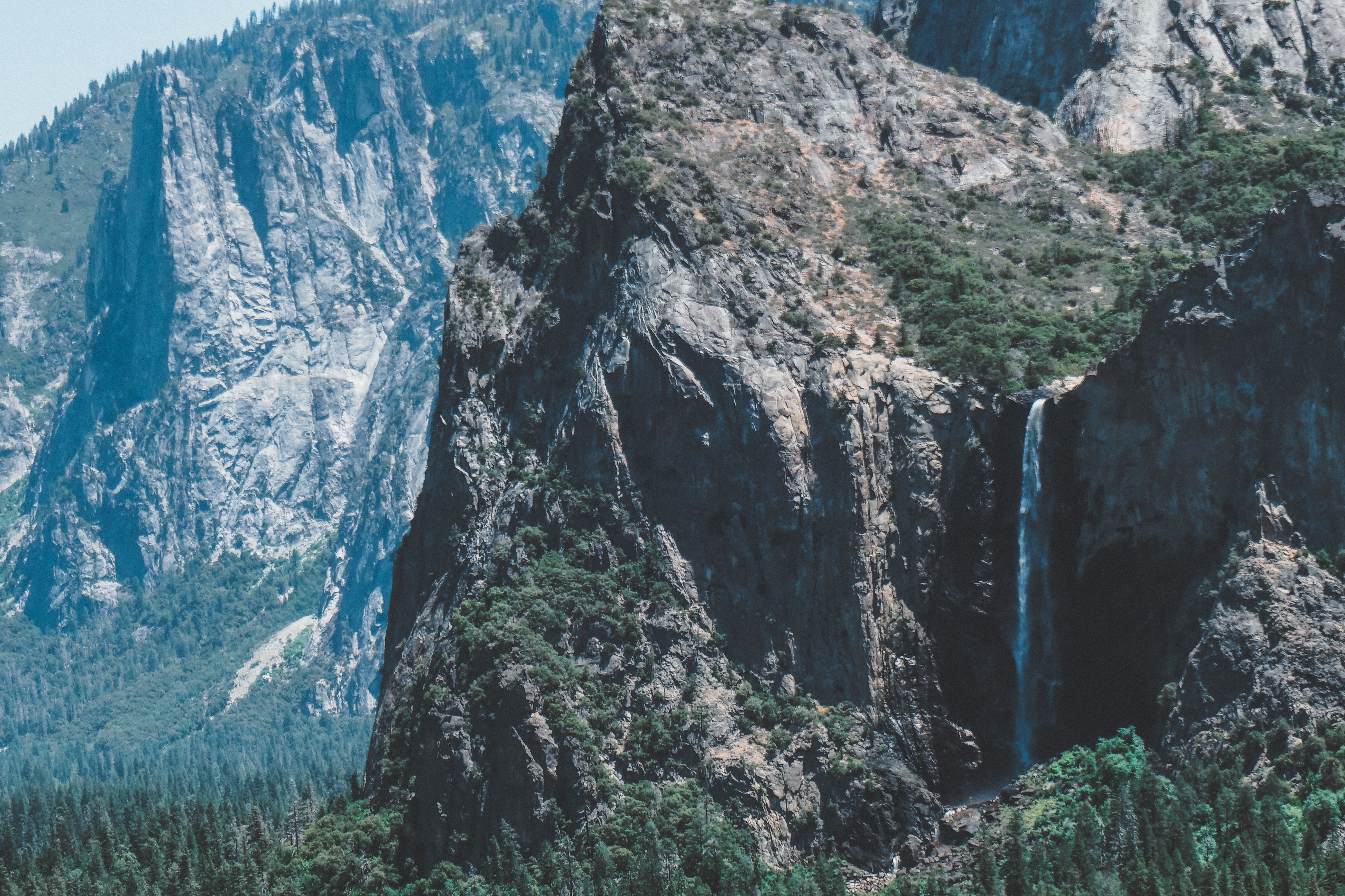
Early parks were established to protect scenery and unusual geological features, and boundaries followed peaks, canyons and waterfalls rather than habitat.
Land value did much of the rest. Areas with timber, minerals, grazing potential or agricultural soil were excluded because they were already claimed or too valuable to set aside.
The result is a systematic bias toward high elevation, steep terrain and poor soils, which are precisely the areas least productive for wildlife.
The seasonal range problem
Many large mammals move between summer range at altitude and winter range in lower valleys, where snow is shallower and forage remains reachable.
Parks frequently contain the summer range and stop above the winter range, so the population is protected for part of the year and exposed for the rest.
Winter range is also where development concentrates, since the same conditions that suit wildlife suit housing and agriculture, so the pressure increases over time.
What crosses the line
Water, fire, air pollution, invasive species and disease all move without regard to a boundary, and a park cannot manage them within its borders alone.
Rivers arriving in a park carry whatever entered them upstream, so aquatic habitat inside a protected area reflects conditions in a catchment that may be entirely outside it.
Predators leaving a park are subject to whatever rules apply beyond it, which is why boundary mortality shapes population trends inside the protected area.
Why parks are also too small
Wide-ranging carnivores need territories larger than many parks, so even a resident population depends on surrounding land.
Small protected areas function partly as islands, with the isolation problems that implies for genetics and for recolonisation after local losses.
This is the reasoning behind large connected conservation initiatives that treat individual parks as anchors within a wider working area rather than as complete units.
How the gap is being addressed
Buffer zones with restricted land use around a park moderate the abruptness of the boundary and absorb some of the edge effects.
Conservation easements and agreements with private landowners protect winter range without acquisition, which is often the only politically feasible route.
Coordination across agencies remains the difficult part, since land inside and outside a park is typically administered under different mandates with different statutory purposes.